10.07.2023 | Jochen Bettzieche | News SLF
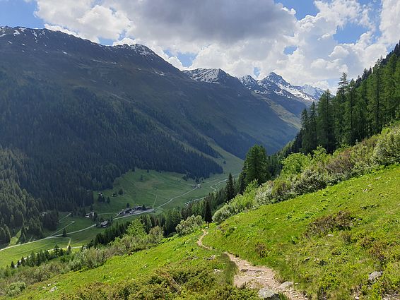
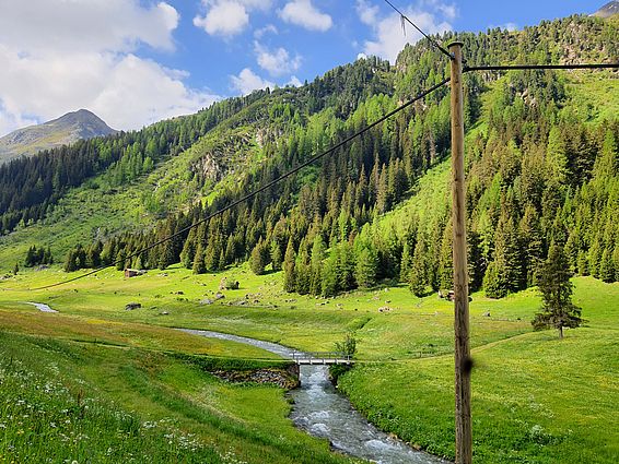
Around Davos, hikers often come across SLF research sites. Here we present three itineraries of varying difficulty and explain what SLF researchers are investigating nearby.
Science is not confined to laboratories. In fact, fieldwork is a vital part of environmental research. Around Davos, scientists operate numerous facilities and experimental areas. Some are new while others date back almost a century. Together they provide important insights into snow and avalanches, forests and meadows, biodiversity and climate change.
Please be considerate and don't enter the test sites. Some of the equipment in place and the plants there are highly sensitive.
The times given here should be viewed as guidelines. The actual time taken will depend on individuals' level of physical fitness.
On Outdooractive.com, the tours are available with detailed information, for example the altitude metres to be overcome, as well as maps.
Easy: Forest and Environment
Circular route from Davos Dorf (Davos Village) through the Seehorn Forest and along Lake Davos
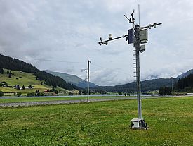
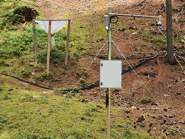
From the WSL Institute for Snow and Avalanche Research (SLF), follow Flüelastrasse towards the Flüela Pass and after just under 400 metres turn left into Baslerstrasse. At the second bend, a forest path branches off the road. This initially runs parallel to Baslerstrasse but climbs more steeply. Follow this until you arrive at a T-junction, then turn left. Soon afterwards there is a fence on the left, behind which are a large number of monitoring stations. Here WSL researchers have been investigating since the 1980s how trees respond to changing environmental conditions. An information board provides more details. Follow the forest path and, after a railway underpass, turn left towards Lake Davos. Once there, you can choose between following the path to the left (the shorter option) or to the right (taking another 20 minutes) along the bank to the lido (Strandbad). From there, a narrow path, leading under the railway, brings you to a few buildings. After the last building on the right, turn onto a footpath. Just before this ends, you will come across a monitoring station on the right. This forms part of the Intercantonal Measurement and Information System (IMIS), which collects weather and snow data from across Switzerland. From here it is only a very short way back to the SLF.
Starting point: SLF, Flüelastrasse 11, Davos Dorf
Time needed: around 1 hour excluding breaks
The tour at outdooractive.com
Tip: Why not combine this short itinerary with a guided tour of the SLF? There are tours every Friday at 10 a.m. except on public holidays (registration required).
Moderate: Destination Snow Research
Ascent in the Parsenn ski resort
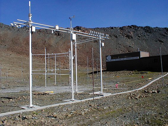
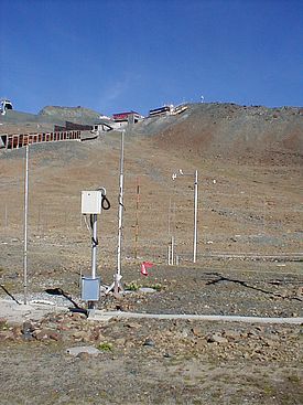
Before reaching the valley station, turn right and, passing to the left of St Theodul's Church, continue into Dorfstrasse. After a few metres turn left into Salzgäbastrasse. Turn right at the T-junction and follow the road to the youth hostel, then take another right-hand turn into Börtjistrasse. Proceed uphill, following signs for the Büschalp, the Parsennhütte and the Panoramaweg trail, and after some time you will reach a forest path. From there, continue uphill towards the Panoramaweg and the Parsennhütte, until you come to the tracks of the Parsenn Funicular railway, above its middle station. Keep to the left of the funicular and only pass under the tracks when you reach the Parsennsee lake. After climbing around 100 metres in altitude, you will reach the Weissfluhjoch test site. Researchers collect snow data here every day during the winter. However, scientists also perform measurements here in summer, for example to check the level of precipitation.
Continue along the path to the Parsenn Funicular mountain station. Here you will find the former institute building. However, it hasn't belonged to the institute for some years now and isn't open to the public.
You can either retrace your steps or take the Parsenn Funicular back down.
Starting point: Parsenn Funicular valley station, Promenade 157, Davos Dorf
Time needed: around 5-7 hours; around 3 hours if returning on the Parsenn Funicular; taking the Parsenn Funicular up to the middle station cuts the walking time to just over an hour.
The hike passes through mountainous terrain so you will need appropriate equipment, including sturdy footwear.
The tour at outdooractive.com
Optional extra: If you fancy extending your walk, you could follow the signs to the Totalp and do a circuit of the Totalpsee lake. At the north-east of the lake, just down the slope, researchers from the SLF have installed photovoltaic modules to investigate how snow affects the output of solar power plants in high alpine regions. (They have found that it has a very positive impact!)
Difficult: The Biologists' Route
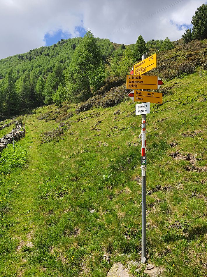
From Teufi via the Stillberg and the Jakobshorn to the Clavadeler Alp
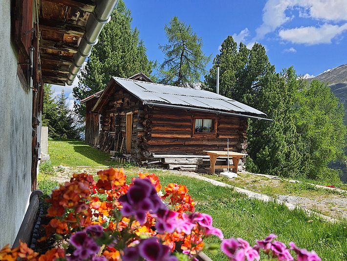
Cross the bridge at Teufi, turn right and just afterwards follow the signs to the left uphill towards the Jakobshorn. After climbing around 250 metres in altitude, you will reach the Stillbergalp, an unmanaged area leased by the SLF. Researchers can work, eat and, if necessary, stay overnight in the rooms here. The Stillbergalp is also home to the mountain station for the institute's own cableway, with its open "Niederberger Schiffli" cable car.
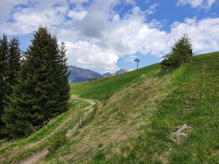
Keep going towards the Jakobshorn. After a few minutes you will come across the Stillberg test site on the right. In 1975, researchers afforested around five hectares of land here to investigate which species are most suitable as protection forest. After a hairpin bend, the path will take you straight on to the Jakobshorn. From here, there is a view looking down on the cableway's mountain station and the helicopter landing platform for transporting heavy material. In the forest, at the tree line and above, the SLF also investigates how trees spread and how the tree line is moving.
A few hundred metres further, glance down the slope and you will see some plexiglass chambers opening upwards in a meadow. Researchers use these to generate warmer microclimates and so investigate how flora in the Alps could change in the face of climate change.
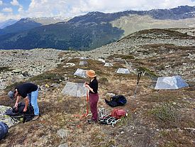
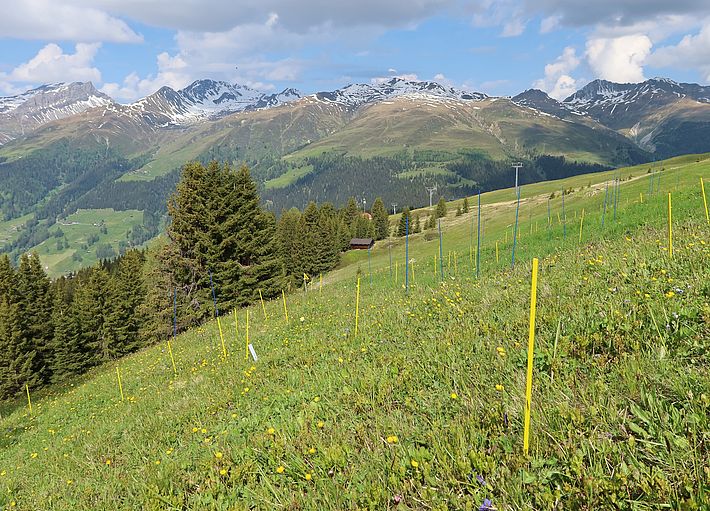
Now continue to the Jakobshorn, the highest point on the route. From here, walk downhill through the Jakobshorn ski resort towards the Clavadeler Alp, past the show dairy and the Clavadeler Bubble chairlift's valley station. Shortly after this you will arrive at a T-junction. Here turn left. After just over 500 metres, a narrow gravel path branches off sharply to the left. Follow this until the woodland comes to an end. A few metres up the slope, researchers from the SLF are investigating the interplay between plants and their predators and the consequences of this for biodiversity. Blue and yellow markings divide the site into individual plots.
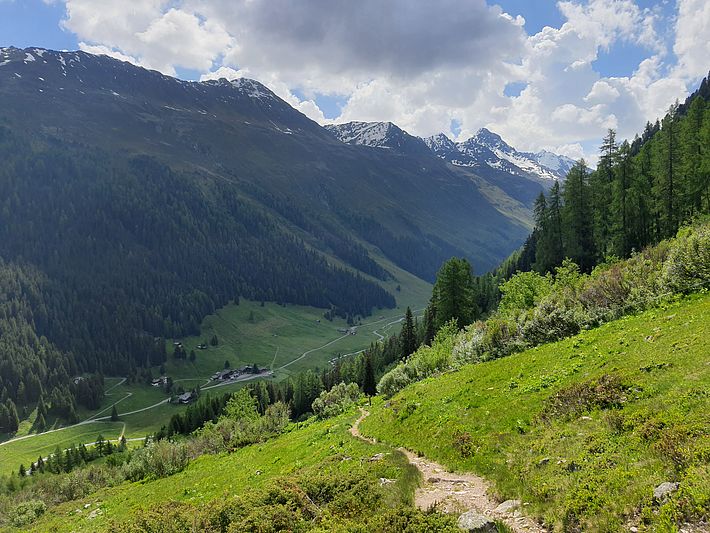
Retrace your steps to the Clavadeler Bubble valley station. After a few metres you will reach a fork. Take the path to the left. Depending on how you feel, you can either follow the signs to Davos Platz or stroll on to the Ischalp and take the gondola down to the valley.
Starting point: Teufi
Time needed: around 7-8 hours excluding breaks
Given the mountainous terrain, you will need to be surefooted and have a head for heights. You will also need appropriate equipment, including sturdy footwear.
The tour at outdooractive.com
Optional extra: From the Jakobshorn, take the path below the Jatzhorn to the Stadlersee lake. The highest-altitude research site of the three where SLF biologists study the interaction between plants and their predators is around 50 metres downhill from the southern shore of the lake in a south-westerly direction. Return to the Jatzhütte and from there head for the Clavadeler Alp as described above.
Tip: As this route doesn't end at the starting point, we recommend taking the bus to Teufi. Bus numbers 312 and 313 run from Davos Dorf railway station in summer.
Contact
Copyright
WSL and SLF provide image and sound material free of charge for use in the context of press contributions in connection with this media release. The transfer of this material to image, sound and/or video databases and the sale of the material by third parties are not permitted.
