Alpine Remote Sensing 
Head: Dr. Yves Bühler
Cutting edge remote sensing research and technology for alpine regions - We strive to develop, test, combine and apply innovative solutions to detect, monitor and forecast natural hazards, aiming at safe mountains in a changing climate.
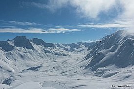
Climate change is having an increasing impact on the Alpine region and the potential for natural hazard processes in the high mountains is rising. However, it is impossible to predict where extreme events will occur, and complete protection of settlements and transportation routes is technically and economically impossible.
Remote sensing systems on the ground, on drones, aircraft or satellites are increasingly becoming an important tool in natural hazard research. They can be used to accurately document events, continuously record changes, and identify potential "hotspots" at an early stage. The combination of optical and radar remote sensing systems has great potential to increase the level of safety. The center is researching how such systems can be optimally used in the future in high alpine terrain for the documentation, detection and prevention of natural hazards.
Alpine remote sensing with drones 

Brief insight into our research activities 
Drones in the high mountains 
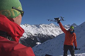
The use of UAVs opens new perspectives to natural hazard research in alpine terrain. Geodata from poorly accessible locations can be acquired from a safe place with high accuracy in a short time. Therefore, since 2015, we used various drones and sensors for documenting events, detecting terrain movements, and mapping snow drift distribution. [MORE]
Detection and monitoring of mass movements in alpine areas 
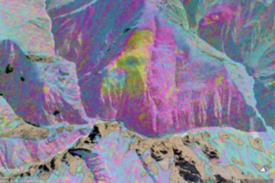
The Alpine Remote Sensing group investigates mass movements by combining remote sensing data acquired from different platforms (terrestrial, airborne, spaceborne) and sensors (radar, multispectral, thermal). The main goal is to advance the understanding of the geomorphological processes, as well as to assess their hazard potential. [MORE]
Snow Depth Mapping 
Recent endeavors to measure snow depths by means of remote exploratory methods such as laser scanning and digital photogrammetry are highly promising. Our team tested different platforms, if they are suitable for measuring and mapping snow depths over wide-ranging areas and achieved encouraging results. [MORE]
Large-scale mapping of avalanches with satellites 
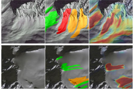
Information on the spatial distribution and size of avalanches are crucial for several applications. Despite its relevance, this information is only available for limited regions and limited intervals. Avalanche mapping from satellite imagery is able to fill this gap with promising results. The identification of avalanches has been automated with deep learning to safe time. [MORE]
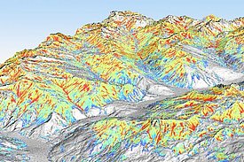
Automatically calculated avalanche hazard indication maps 
We developed an automated process to create spatially continuous avalanche hazard indication maps. Even though they are less reliable than avalanche hazard maps, different scenarios of larger areas can be calculated. This is particularly useful in areas where no hazard maps exist or where substantial changes, i.e. in the forest, occur. [MORE]
Staff 
Alpine Remote Sensing
Group leader |
|
PhD student guest |
|
Scientific staff member |
|
Master student |
|
PhD student |
|
Trainee |
|
Scientific staff member |
|
Scientific staff member |
|
PhD student guest |
|
PhD student |
|
System specialist |
|
PhD student |
