SLF biologist Christian Rixen writes about his expedition to Greenland in the footsteps of historical botanists - and climate change.
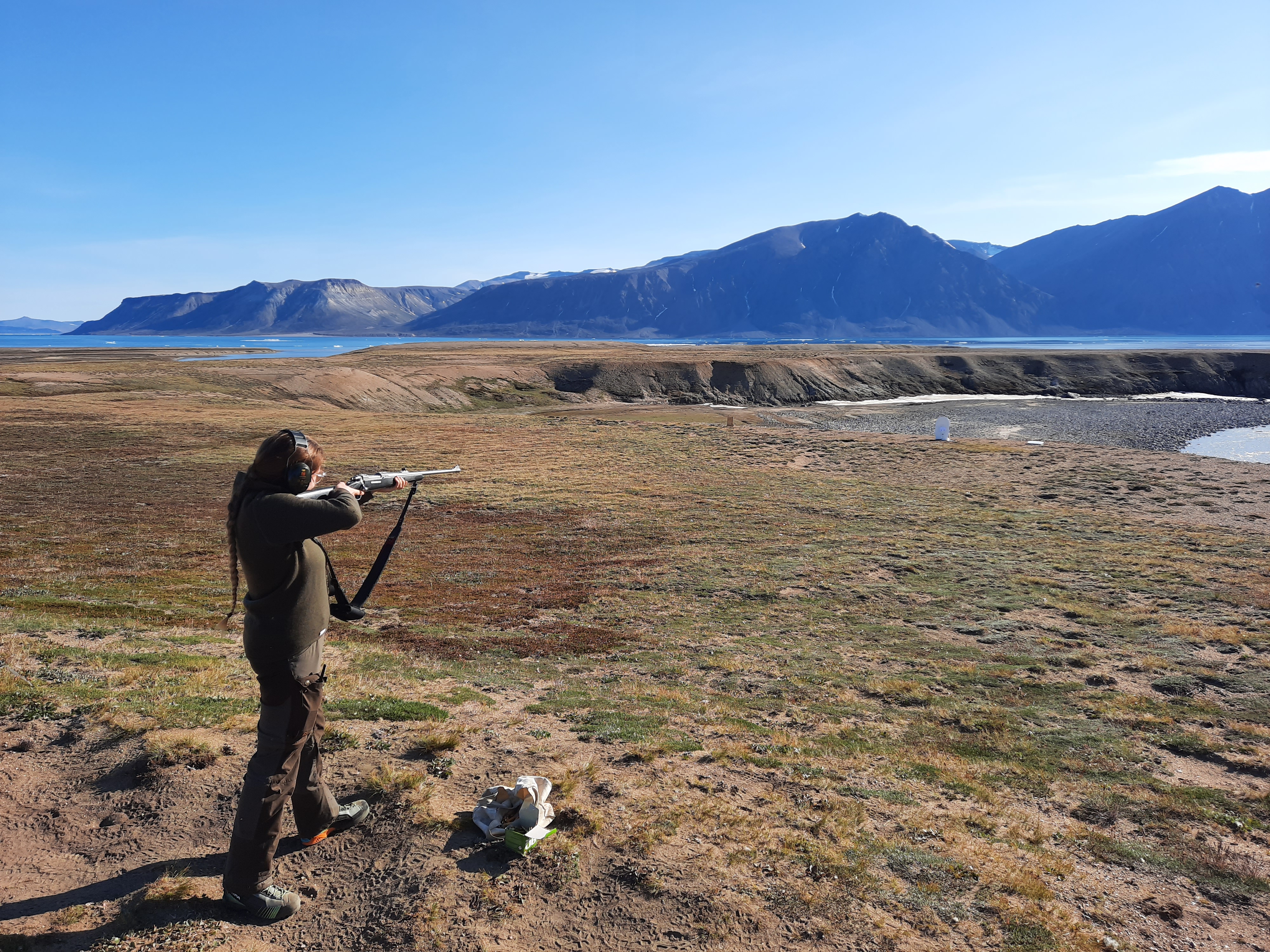
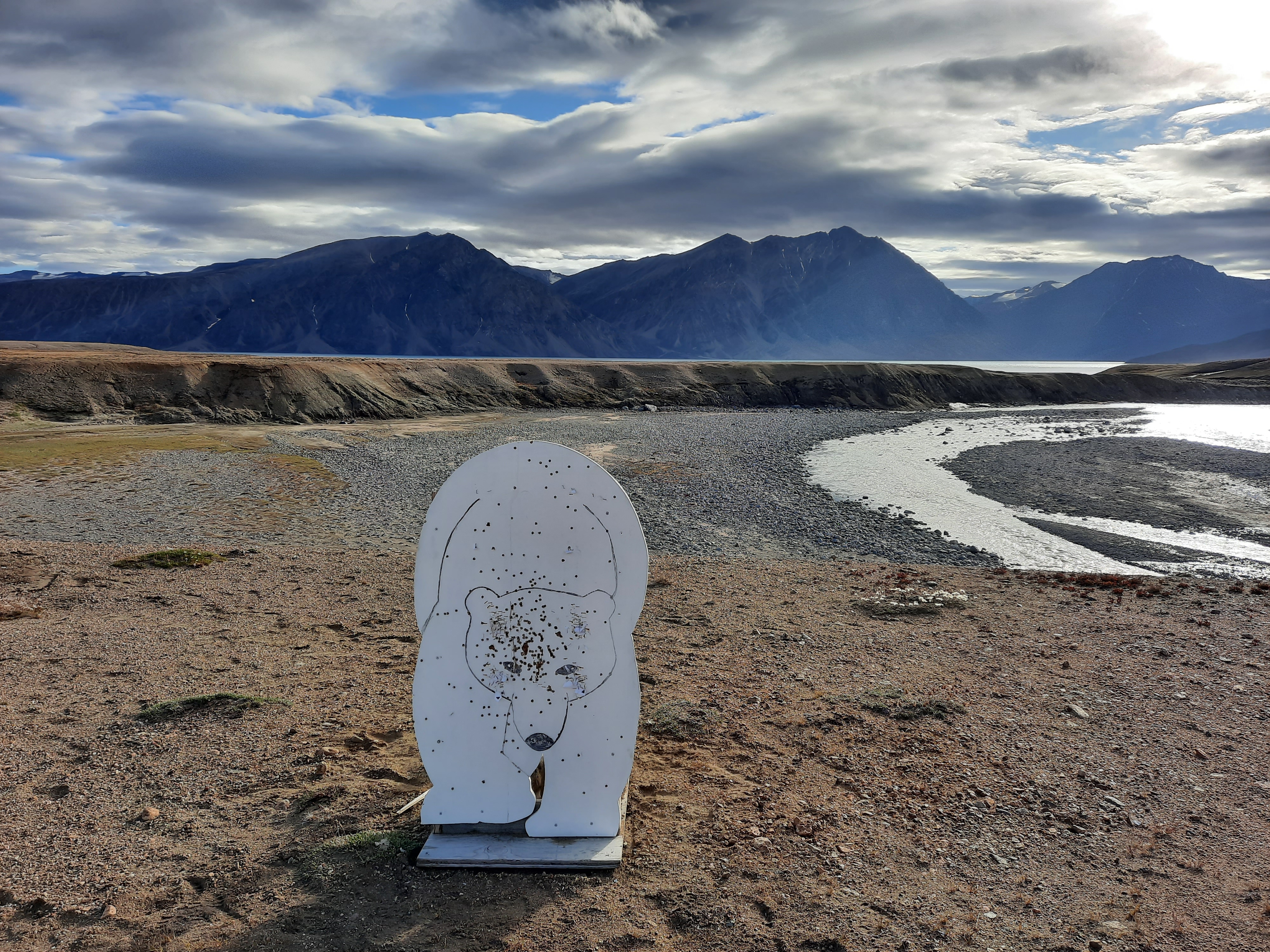
Breathe in, breathe half out, hands steady, take aim. Bang! It's a hit. "That would be a dead polar bear," my shooting coach remarks dryly. A direct hit, right between the eyes. OK, so there were two misses as well. But one decent hit is enough to save your life in an emergency. And it could just come to that as I head off to Greenland to study vegetation – far from civilisation, but potentially close to polar bears. Shooting training is just as much a part of the preparation as a first-aid course.
It all began in the 1930s 
Repeating historical plant and vegetation surveys provides valuable information about environmental changes, such as those caused by climate change. In 1931/32 and 1934, Danish botanist Paul Gelting researched flora on the island of Clavering Ø in north-east Greenland, from sea level to mountains of over 1,200 m. He recorded the presence and quantity of around 130 regional plant species at every 100 metres of altitude.
Schwarzenbach 
The Swiss botanist Fritz Hans Schwarzenbach worked in Greenland from 1950 onwards, including on expeditions with renowned Danish geologist Lauge Koch. In 2001, Schwarzenbach decided to repeat Gelting's surveys and found that the species had extended their range upwards by an average of 38 m in the previous 70 years. And now it's our turn.
How our project came about 
Schwarzenbach visited our research team at the SLF in 2011 and suggested that we keep up the Swiss-Greenlandic research tradition by repeating the botanical expedition, based on his earlier data. In the meantime, our team had conducted follow-up surveys in many European mountain regions and found clear upward trends. But not in Greenland – until now. This summer, we finally had the opportunity to undertake the long-discussed study, funded by the EU's INTERACT programme, the Swiss Foundation for Alpine Research (SFAR) and Zackenberg Research Station in north-east Greenland.
Preparations 
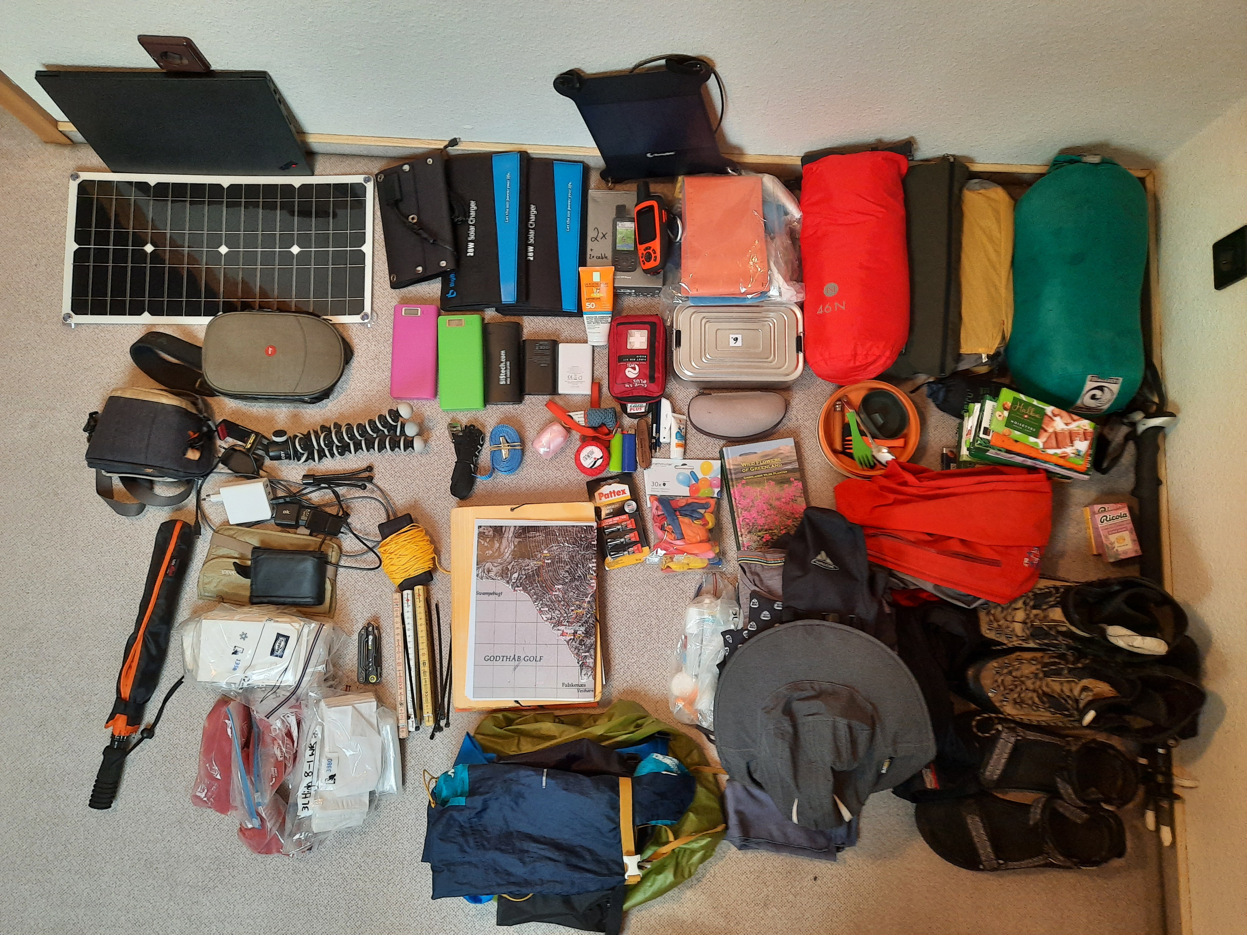
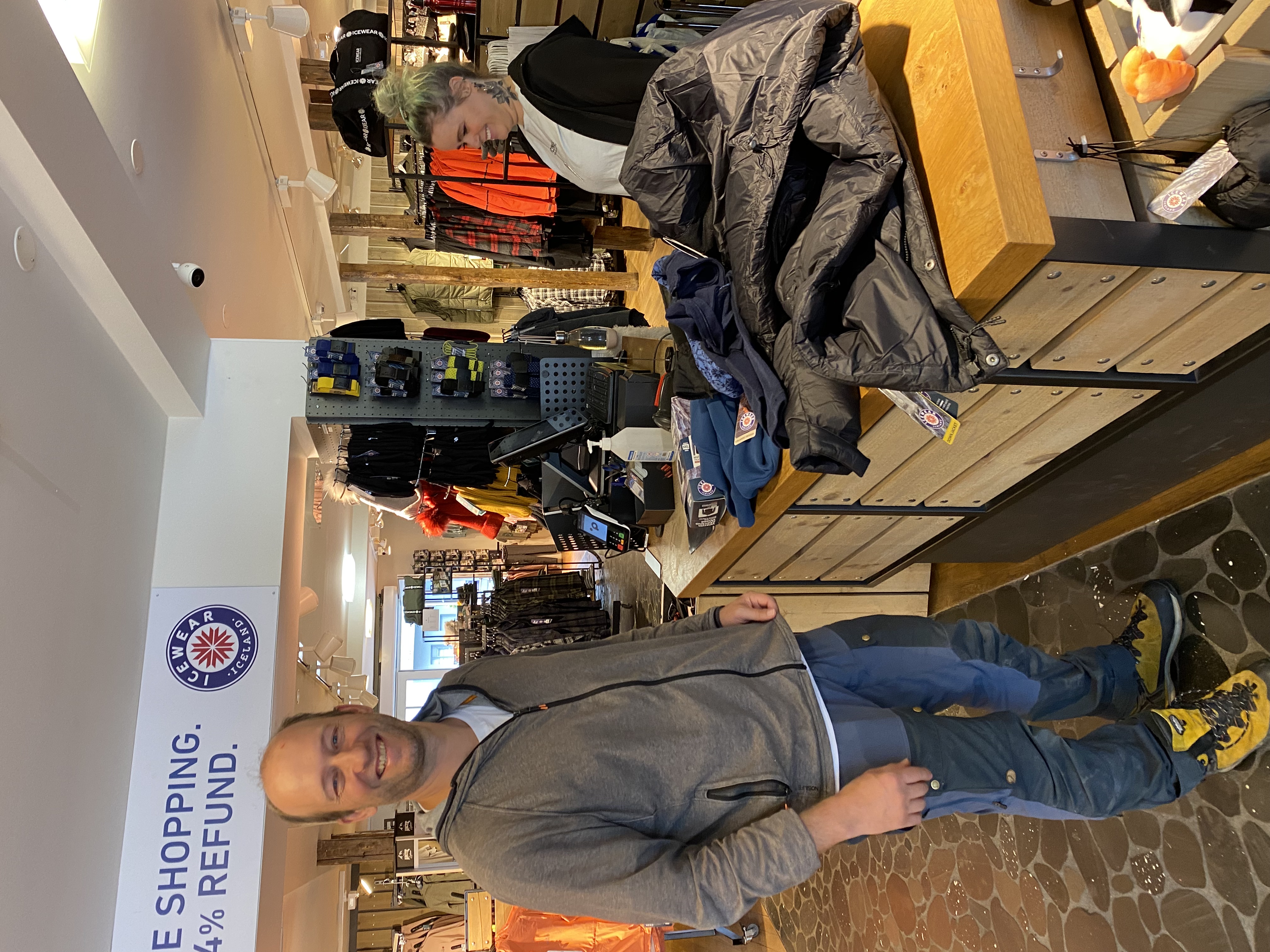
How do you prepare for an expedition to Greenland? First of all, you rejoice that the project proposal has been approved. Party time! Second, you decide who's going. Me (of course), then Andreas Gygax, a distinguished botanist and author of Flora Helvetica, and Charlotta Mattsson, a Master's student at the University of Basel. Third, you do everything else. And that's a lot. Completing first-aid courses, because we're going to be in some very remote areas where it could take a long time for any rescue operation to happen. Taking shooting lessons – Greenland is polar-bear country, and these animals can be dangerous. Making sure we have a power supply: we'll be doing a lot of work with smartphones and other devices, so we pack five portable solar panels plus power banks. Then there's all the first-aid kit required for an expedition, camping equipment, workbooks, 15 bars of Swiss chocolate, and plenty more besides.
Getting there 
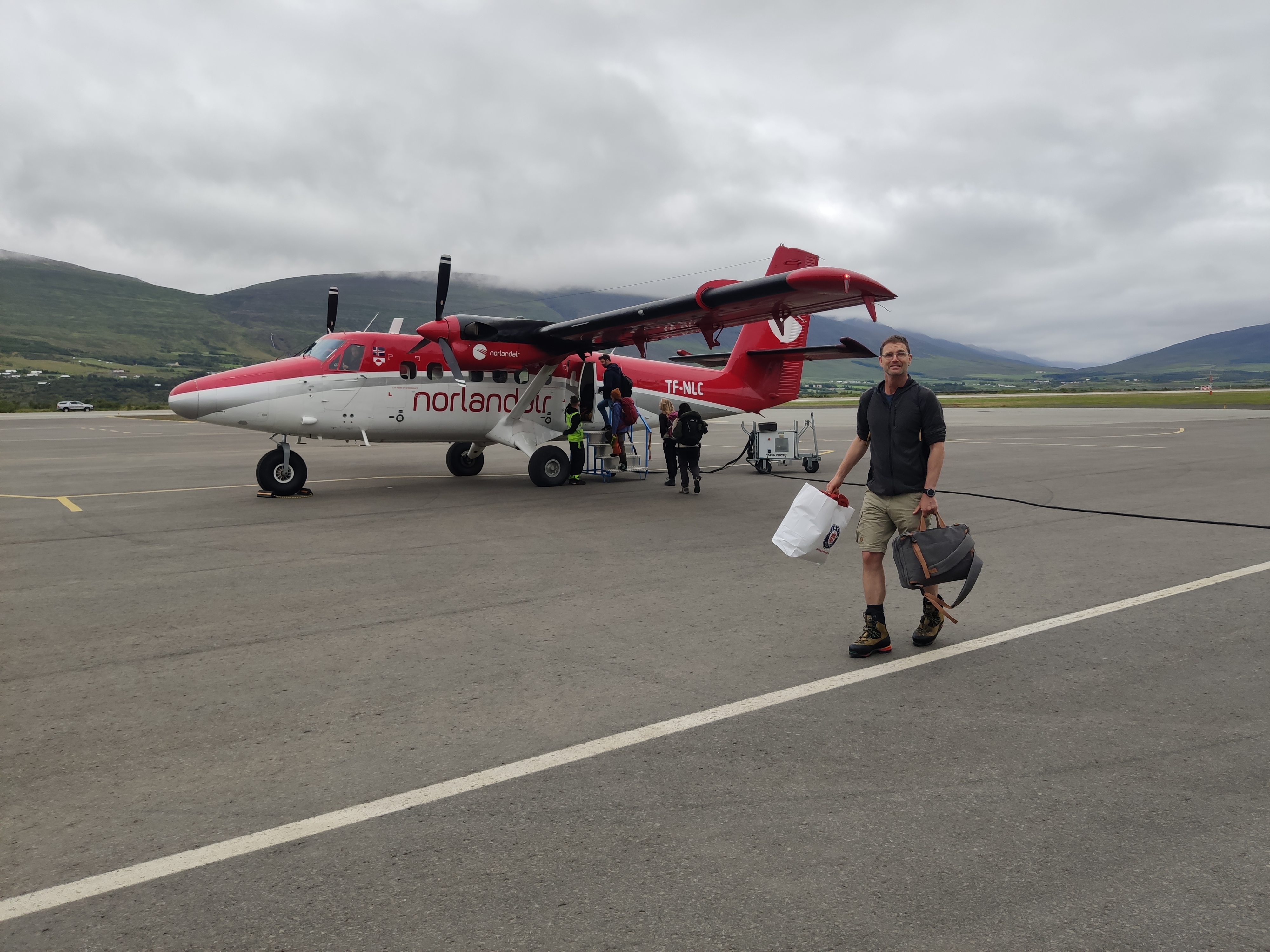
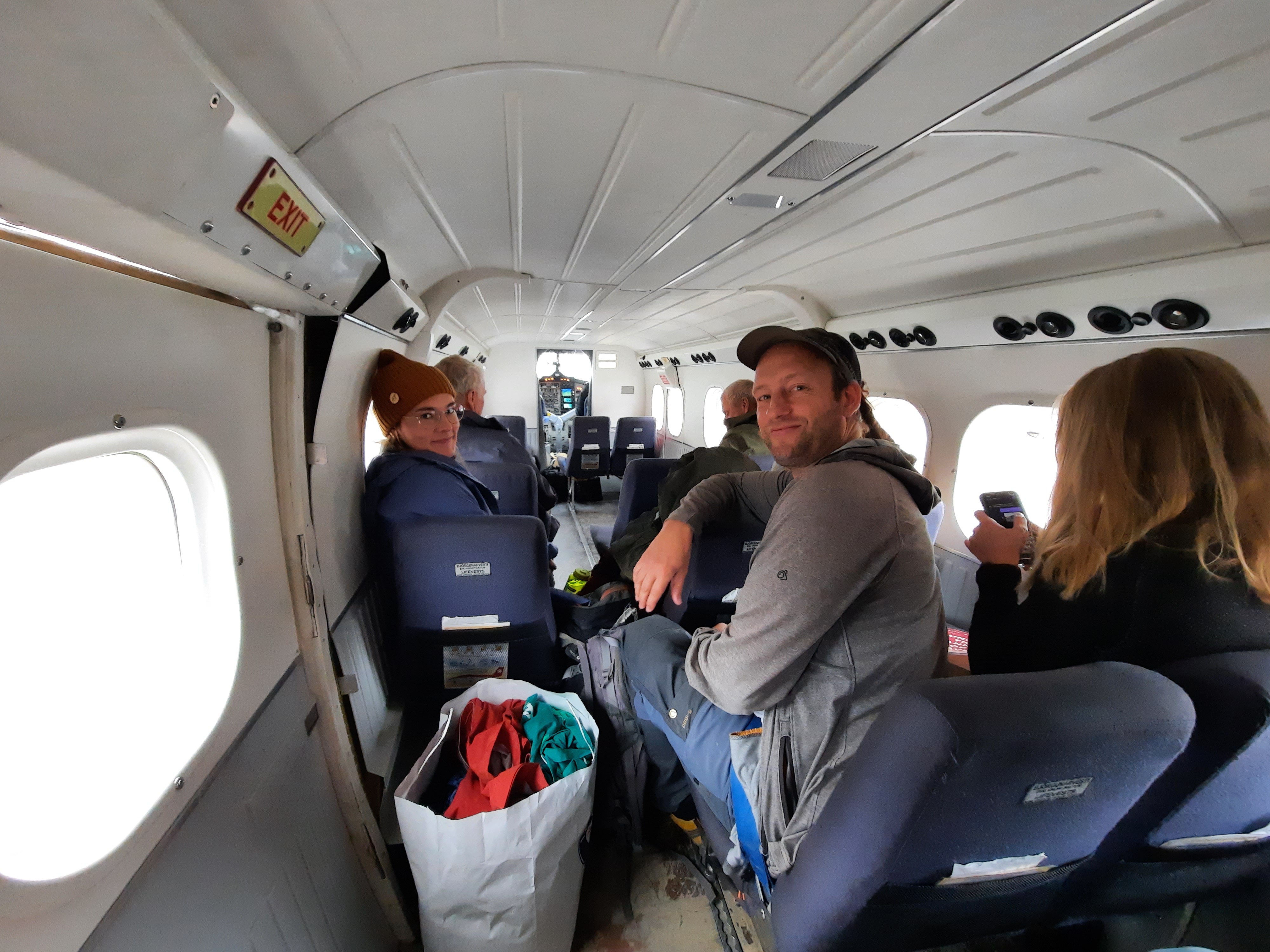
So how do you actually reach this remote part of Greenland where botanists worked decades ago? Each leg of the journey gets progressively less comfortable and more adventurous. First we take a plane from Zurich to Reykjavik in Iceland (where Andreas's backpack fails to arrive, so we have to buy him a whole new set of equipment), then a shorter domestic flight to Akureyri. From there it's on to Constable Point, a small airport hub in eastern Greenland. The final flight is in a Twin Otter to Zackenberg Research Station. Last but not least, we face a half-day boat trip in a Zodiac, before finally reaching our destination: Eskimonæs, at the southern end of Clavering Ø.


But of course things aren't that simple. Even before we set off, we were told that the boat trip might not be possible as there was a lot of ice off Clavering Ø due to an unfavourable wind direction. When we arrive in Zackenberg, the situation isn't looking much better, and the latest satellite images are inconclusive. The good thing about an island is that you can theoretically get round it on both sides. The trouble is that there are areas of shallow water that are becoming increasingly silted up. It might be possible to get through at high tide, but it's around seven years since that route was used last. It all means extra hassle and complications. Kent, Jonas and Jonas from Zackenberg first have to scout out the route. They set off by boat in time to catch the high tide. Where the water is too shallow, they have to get out and drag the boat to find the deepest parts, which they then mark with wooden poles – all while wearing sweat-inducing survival suits to protect them from the ice-cold water. When they get back in the boat afterwards, they freeze even more in the strong wind. But they manage to make it through. They then have to wait around 12 hours for the next high tide before they can return. So it's a very long day for them, but they're given a heroes' welcome when they get back to Zackenberg. We then pack up more of our equipment, while still searching for some replacement items for Andreas's kit. The airline does eventually return his equipment, but not until the expedition is over. Two days later and we're ready to set off. We make it through the shallows by boat, sailing between ice floes to reach Eskimonæs.


Image 3 of 6
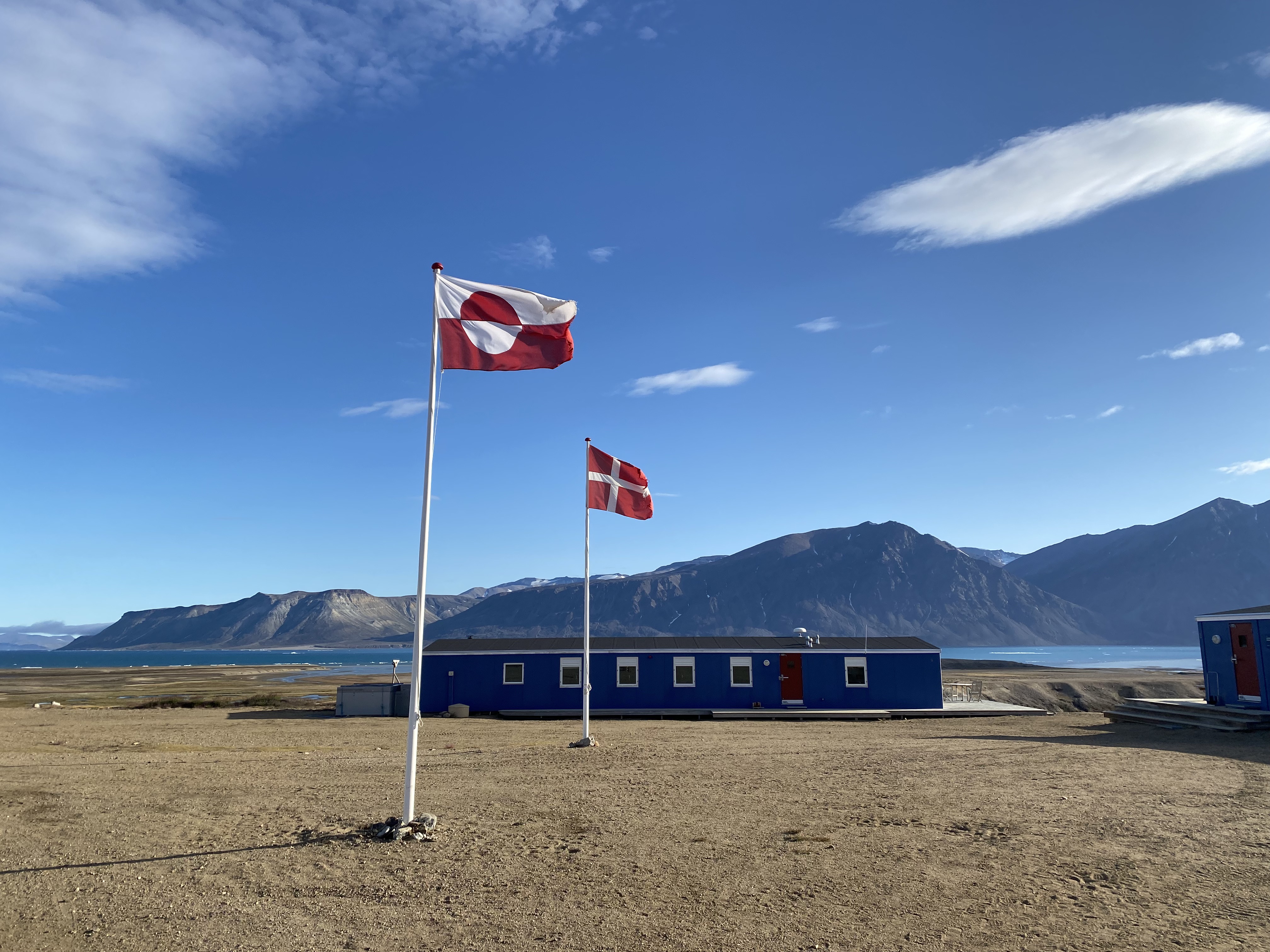
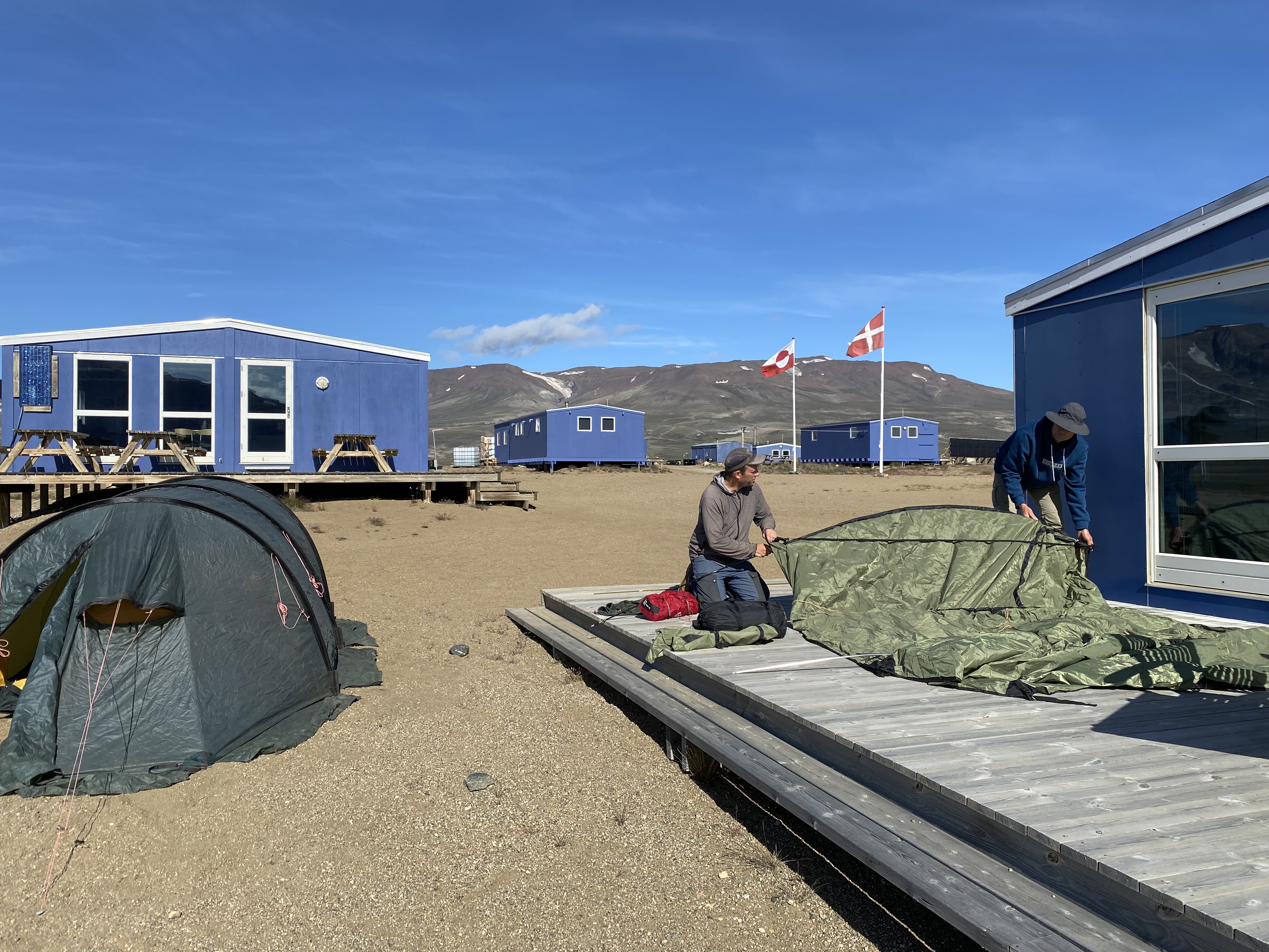
Stopover at Zackenberg Research Station (photo: Charlotta Mattsson)

Image 4 of 6
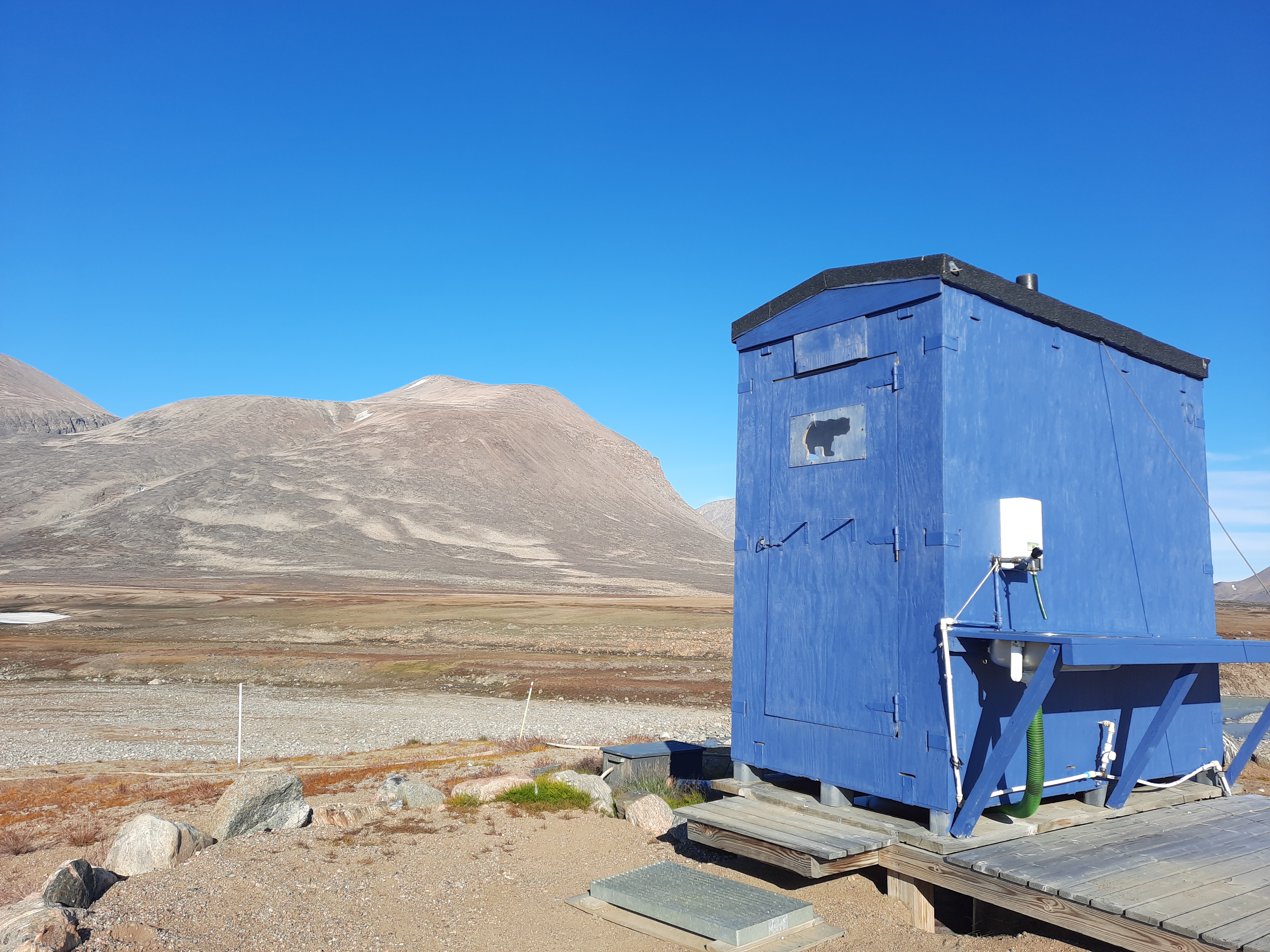
A polar bear on the door – no heart-shaped decorations here! (photo: Christian Rixen/SLF)


Image 6 of 6
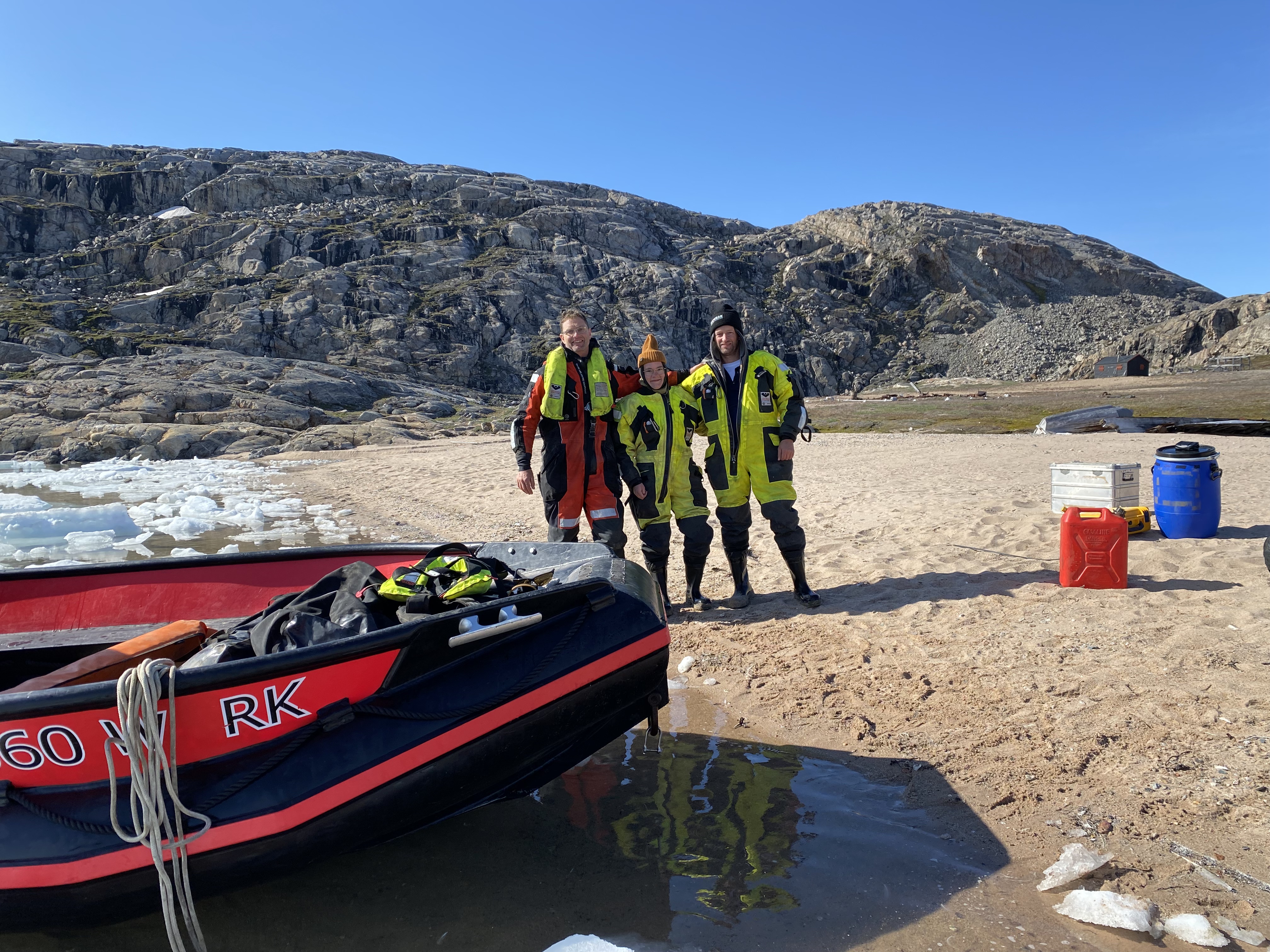
Arrived at last: (from right to left) Andreas Gygax, Charlotta Mattsson and me (photo: Charlotta Mattsson)
Read part 2 of the blog here. In it, Christian Rixen writes about the life and work of the researchers at Clavering Ø.