In Switzerland, natural hazards such as avalanches, landslides, rockfall, debris flows, flooding and forest fires can cause considerable damage. Through our research and services, we help to protect people against such a danger.
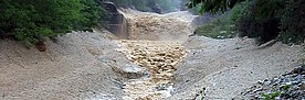
In Switzerland, 23 people are killed on average each year by avalanches alone; flooding and mass movements cause damage amounting to an average of CHF 300 million per year.
Avalanches alone kill an average of 23 people in Switzerland every year; flooding and mass movements cause an average of 300 million Swiss francs in damage every year. As the population continues to grow, more and more buildings are located in at-risk areas. Climate change is causing glaciers and permafrost to melt, threatening to set enormous amounts of rock, earth and debris in motion.
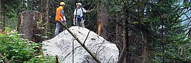
We research how different natural hazards arise; how far, how quickly and how vigorously they develop, and how people can protect themselves accordingly. This may be through for example spatial planning, reliable forecasting, technical protective measures or protection forests. We lay the scientific foundations for risk analysis and evaluating whether protective measures and warning systems are effective and economical.
This requires not just scientific and engineering research, but economic and social research, as well as close cooperation between different stakeholders. The question of how to deal with natural hazards presents politics, government and society with the challenge of finding widely accepted and economically viable risk reduction strategies.
Observation and simulation 
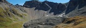
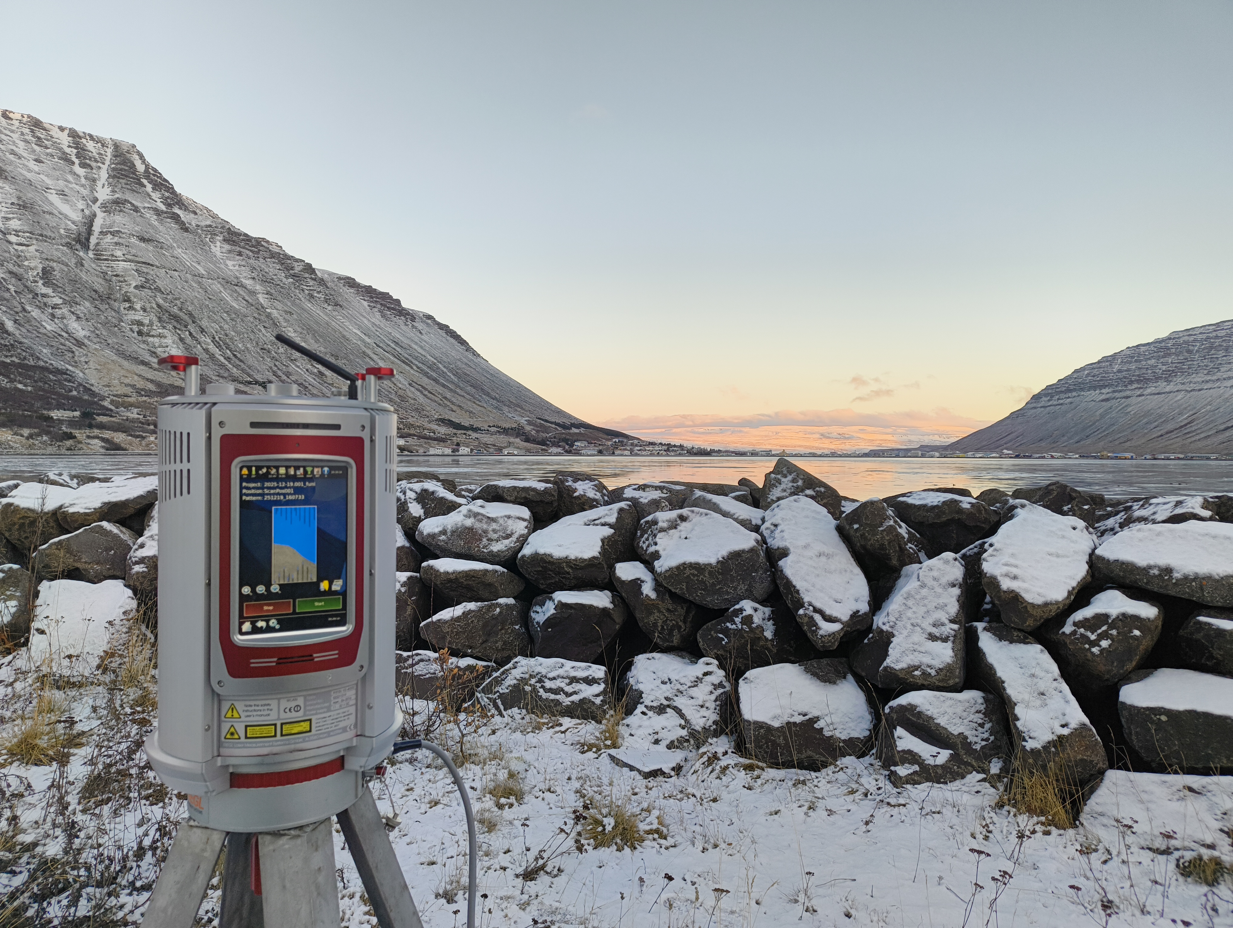
In order to understand the processes of natural hazards in detail, we run experimental setups which are unique worldwide. As part of field experiments, we observe the dynamics of avalanches, debris flows, rockfall and landslides under realistic conditions.
Thanks to these field experiments, we now understand better than ever how these natural hazards arise and develop, and are able to simulate the processes with increasingly precise computational models. This is useful for optimising protective measures and hazard maps.
Forewarned and informed 
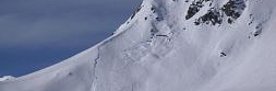
When it comes to warning and information systems, we play a leading role: in winter, the avalanche warning service at the WSL Institute for Snow and Avalanche Research SLF publishes the avalanche bulletin. for Switzerland twice a day, while our hydrologists are involved in warning the public about instances of flooding and severe drought.
Forest fires present a real threat in the already dry southern alpine valleys. We record and analyse forest fire events, develop methods and concepts to evaluate the risk of forest fire, and determine the consequences for ecosystems such as protection forests.
We make our data, findings and products available to the public and safety authorities on internet platforms, as apps or in leaflets.
Focus Areas 


New 

10.06.2026

13.02.2026